Aerial map of Brisbane Port

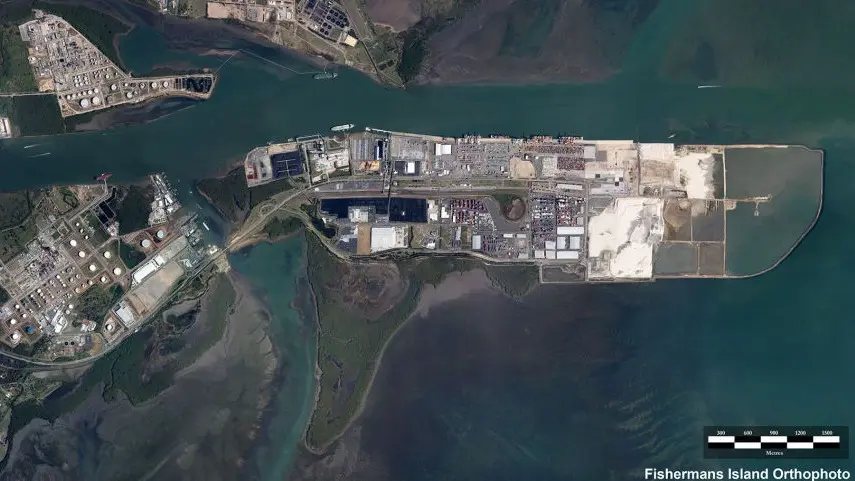
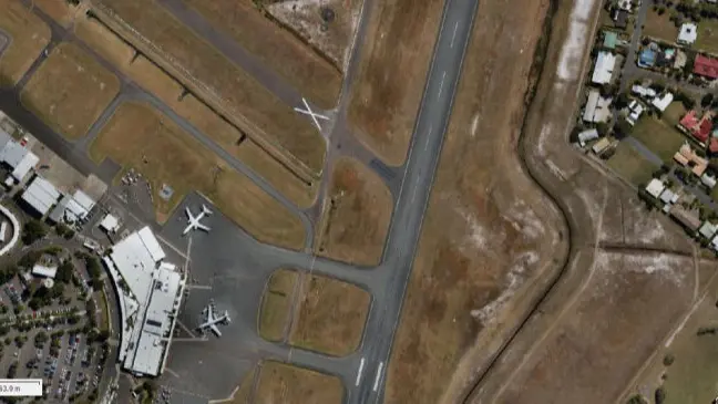
We offer fast, affordable, reliable aerial mapping.

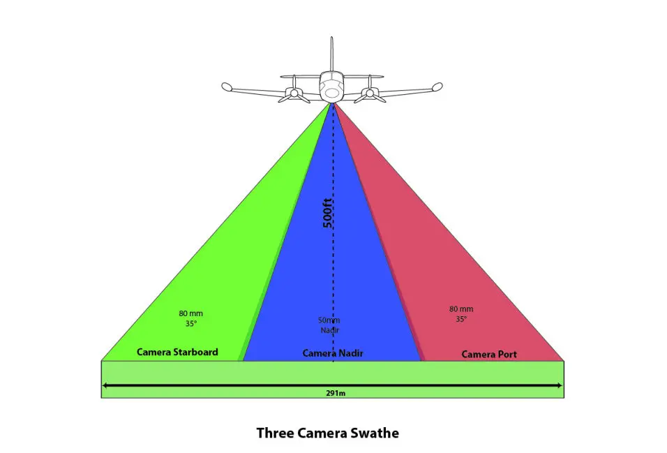
By shooting multiple sites per flight our unique approach to aerial photography means we provide fast, proven, and accurate aerial photography, with verifiable accuracy and validation of data.

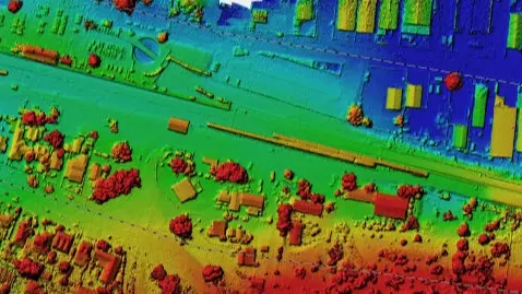
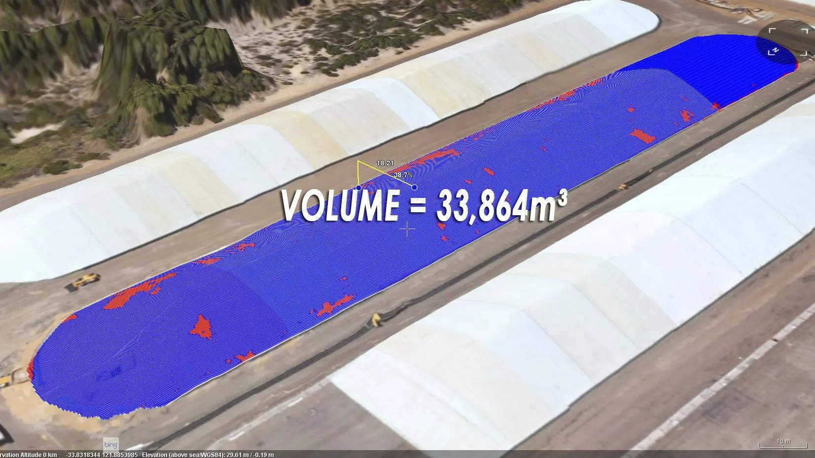
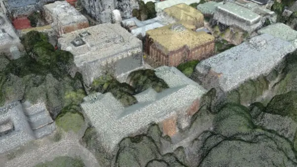
We work all our 3D modelling based on a modernised approach to photogrammetry, utilising systems we have refined since our formation.

We have built on this knowledge at the forefront of GIS capture and analysis technology, supplying to both government and the commercial sector.  

Mapping camera swathe

Innovation through design

Our modernised approach makes us a market leader in innovation to meet the needs of our clients.

Digital elevation models

Digital Elevation Models

Accurate digital elevation models.


Mobirise

3D Photogrammetry for Architects

We combine your architectural models into real world photogrammetry for accurate  replication of views and more. 

Mobirise

Orthophotography

Visual and multispectral imagery, from 25cm to 0.5cm resolution aerial data.

Mobirise

Stockpile reporting

Take volumetric measurements with a validated level of confidence. 

Mobirise

3D Point Clouds

We can classify point clouds, and supply in LAS or E57 formats, with a point clouds.

Mobirise

Flooding Visualisation

Accurately depict what water, at a chosen height by the user will look like.

Address:

We service Australia-wide, based in the Sunshine Coast, QLD.

Phone:

Local 1300 022 683
International +61 488 112 112

FOLLOW US!

Landing Page Software