Innovation through design
Our modernised approach makes us a market leader in innovation to meet the needs of our clients.
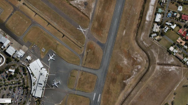
Welcome to AeroGlobe, where the sky is not the limit. Since 2008, AeroGlobe has been a leader in aerial photogrammetry and 3D mapping, offering bespoke solutions across a spectrum of sectors such as environmental monitoring, construction, urban development, and marine research. Operating from the Sunshine Coast, Queensland, we are dedicated to delivering fast, affordable, and reliable aerial mapping services throughout Australia.
Our state-of-the-art technology and innovative photogrammetry techniques enable us to provide precise and actionable aerial photography and 3D models tailored to the specific needs of both government and commercial clients. Our services enhance various applications, from improving agricultural operations to facilitating effective disaster management and forward-thinking urban planning.
AeroGlobe is not just committed to technological excellence but also to environmental responsibility. Our projects support essential initiatives in vegetation and wildlife monitoring, smart city developments, and coastal management, supplying clients with essential high-resolution data for informed decision-making.
Significant Projects:
AeroGlobe has successfully completed several notable contracts, demonstrating our capabilities and commitment to excellence:
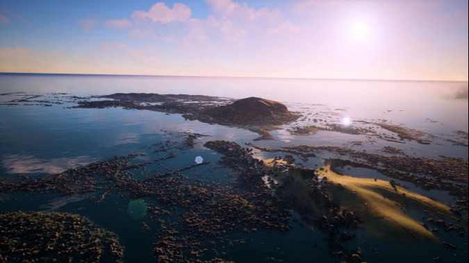
Turtle Aerial Monitoring Project, Parks Australia - Detailed aerial surveys for marine life monitoring and environmental assessment.
Coral Sea Turtle Survey, Great Barrier Reef Marine Park Authority - Extensive aerial surveys to assess turtle populations and habitat conditions.
Coral Sea Marine Park Ramsar Site Management Initiatives - Provided critical data for the management of protected marine environments.
Department of Biodiversity, Conservation, and Attractions Annual Report - Supported environmental and conservation efforts through comprehensive aerial data collection.
National Environmental Science Program Marine and Coastal Hub - Collaborated on research projects aimed at enhancing marine and coastal management.
Dugong Census with James Cook University - Conducted aerial surveys for dugong population assessments, contributing to conservation strategies.
Explore more about our journey and the impact of our work at AeroGlobe. Join us as we continue to advance aerial mapping technologies and contribute to sustainable development and conservation efforts around the globe.
Our modernised approach makes us a market leader in innovation to meet the needs of our clients.
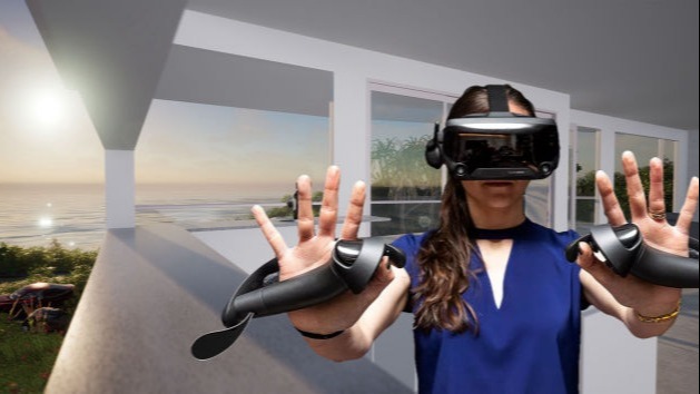
We combine your architectural models into real world photogrammetry for accurate replication of views and more.
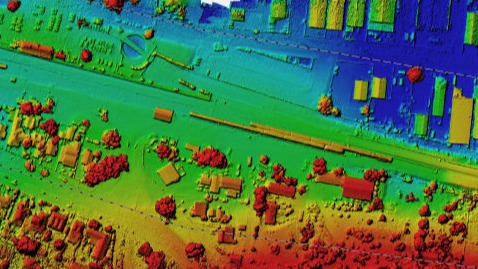
Visual and multispectral imagery, from 25cm to 0.5cm resolution aerial data.
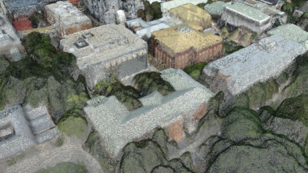
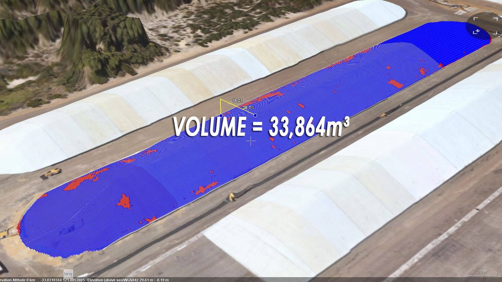
We can classify point clouds, and supply in LAS or E57 formats, with a point clouds.
Accurately depict what water, at a chosen height by the user will look like.
We service Australia-wide, based in the Sunshine Coast, QLD.
Local 1300 022 683
International +61 488 112 112
FOLLOW US!