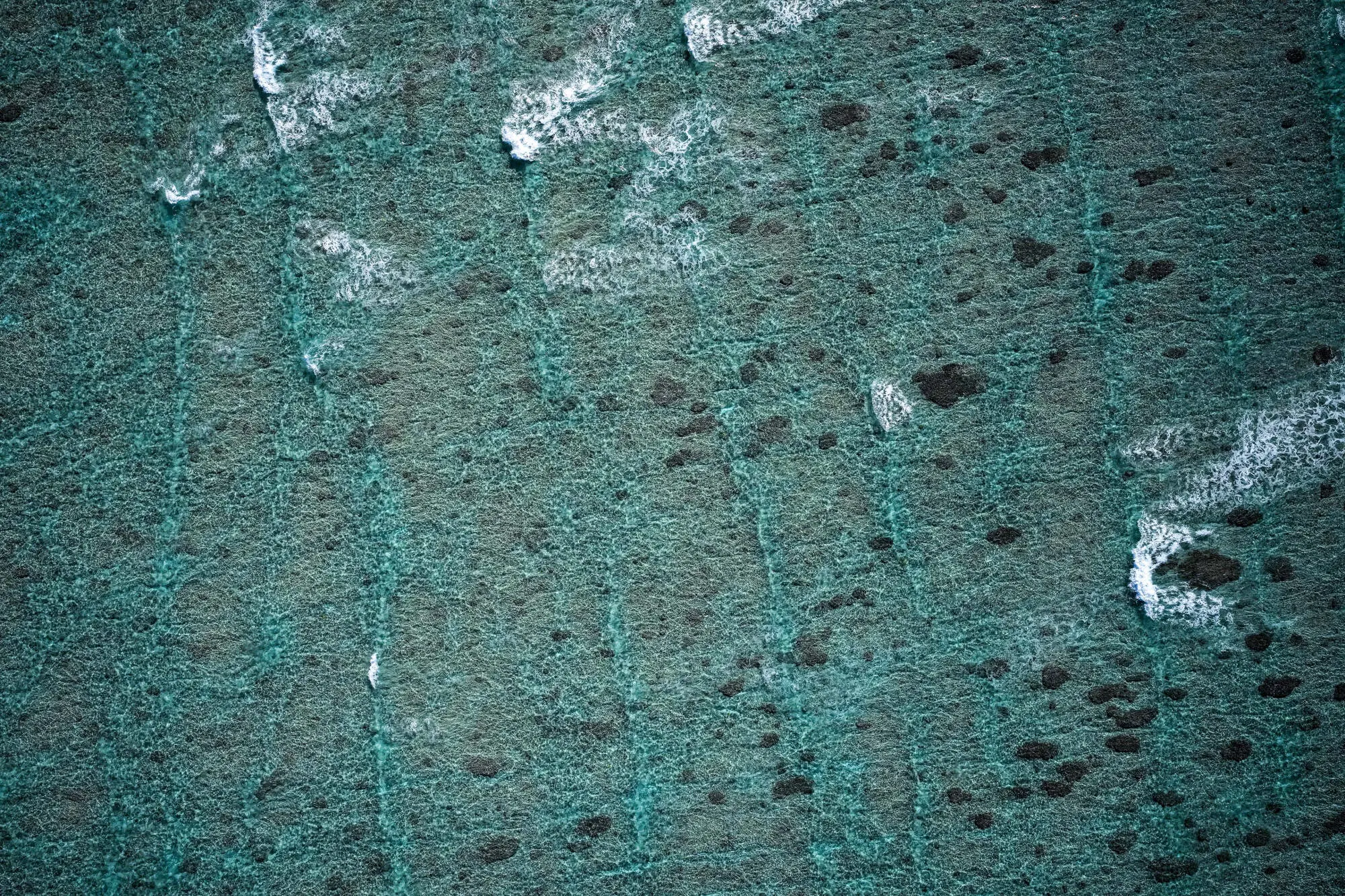
 Aerial Surveys: Capture the world from above with high-resolution aerial imagery. Integrate our aerial survey mapping data directly into your existing workflows and software applications. Streamline your operations and stay ahead of the competition.
 Mapping and GIS: Turn imagery into actionable maps for precise decision-making with Google Map overlays
 Data Analysis: Extract meaningful insights from your aerial data.
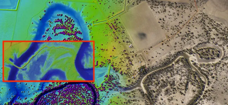
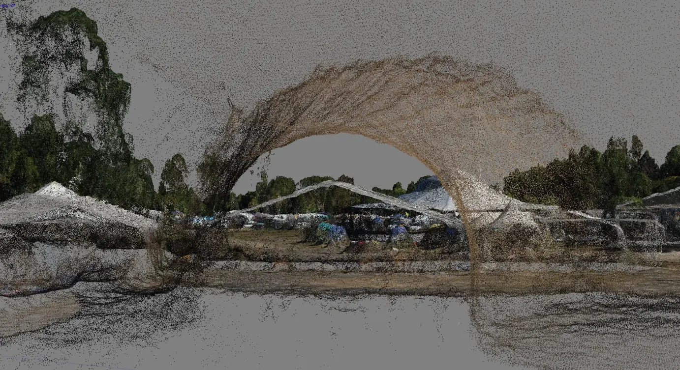
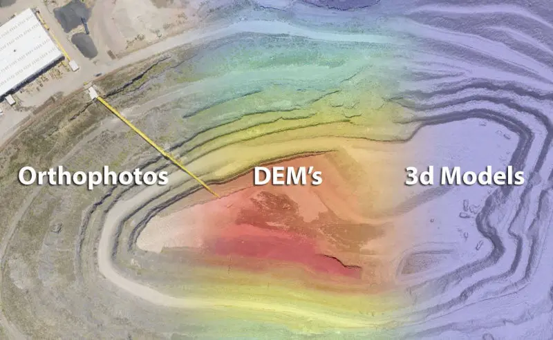 Elevation Models: Create detailed Digital Elevation Models (DEMs) and Surface Elevation Models (SEMs).
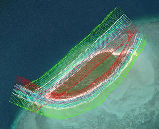 Environmental Monitoring: Track changes in landscapes, ecosystems, and natural resources.
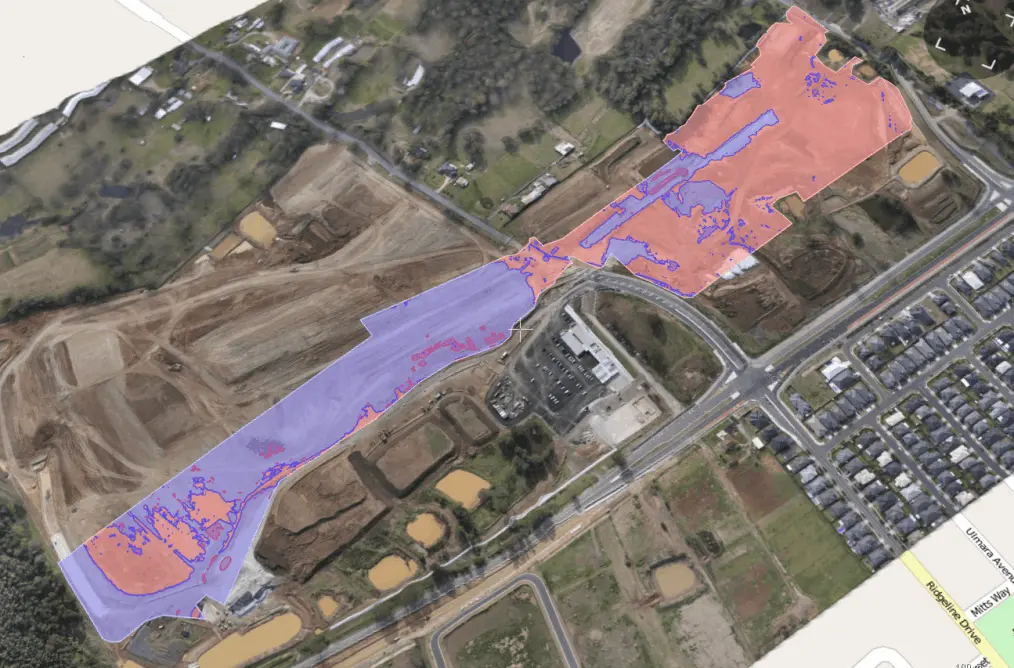
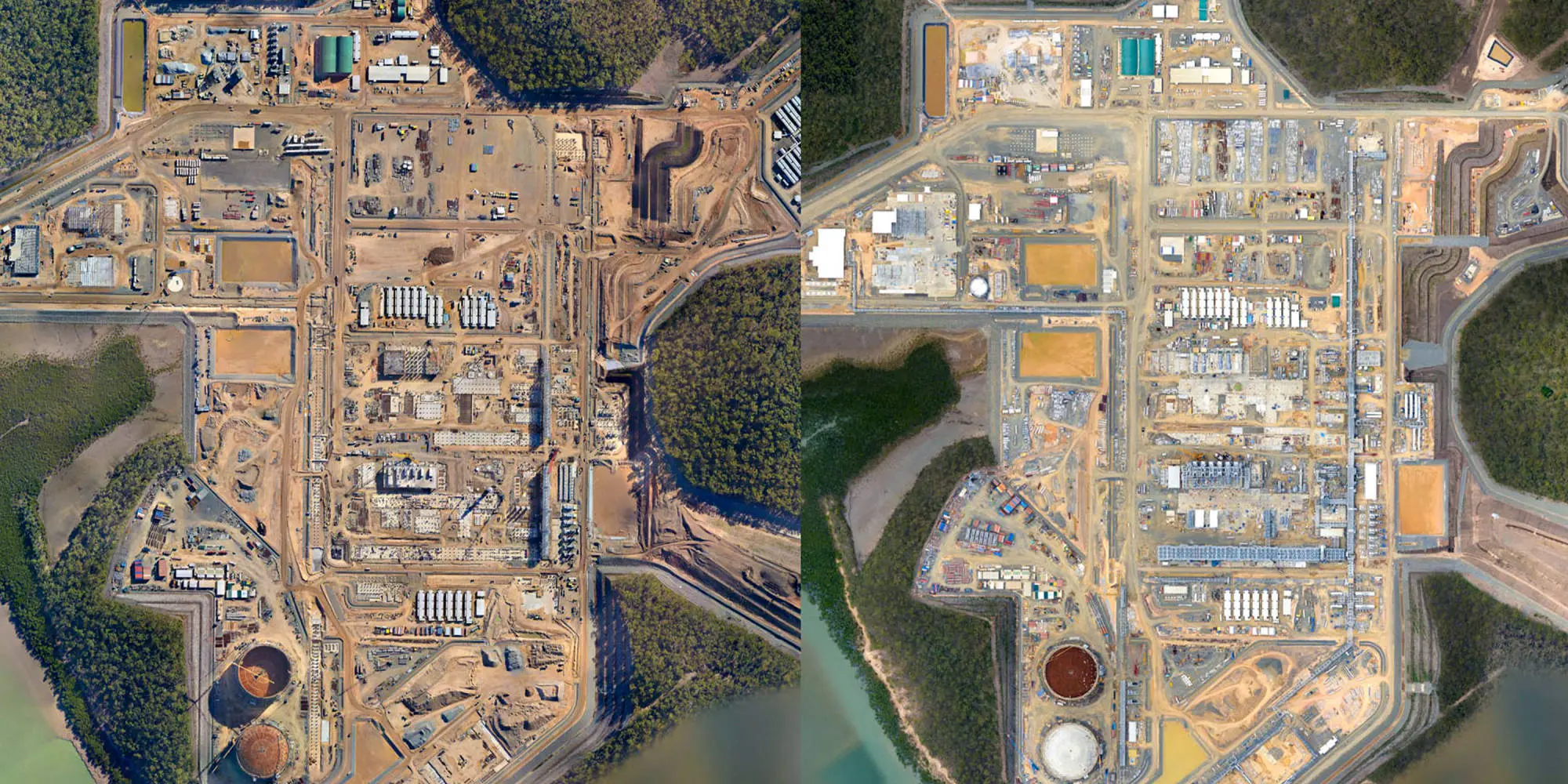
 Construction Planning: Optimize site planning and progress monitoring.
 Urban Development: Support smart city planning and infrastructure development.
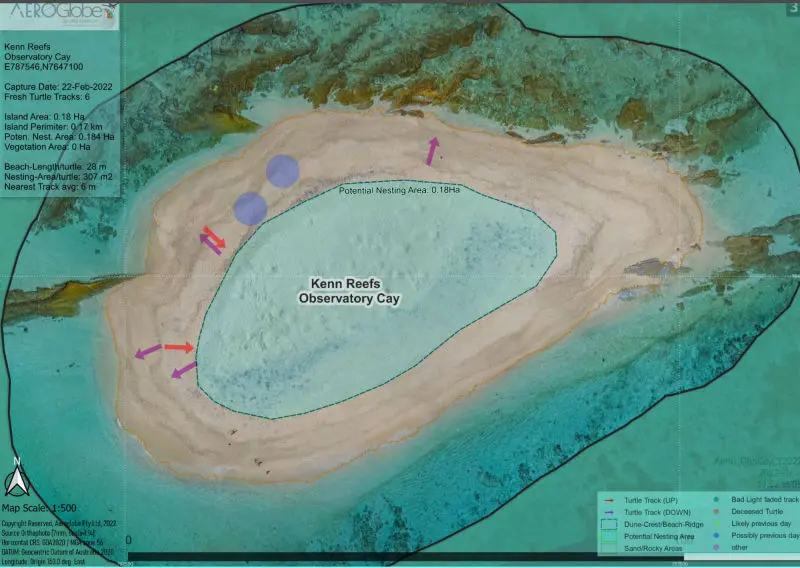
 Eco-Friendly Aerial Monitoring: We're committed to environmentally responsible practices. Our aerial surveys minimize disturbances to marine life while providing crucial data for researchers and conservationists. Join the ranks of marine researchers, conservationists, and explorers who rely on our aerial survey mapping expertise. Together, we can protect and conserve our oceans for future generations.
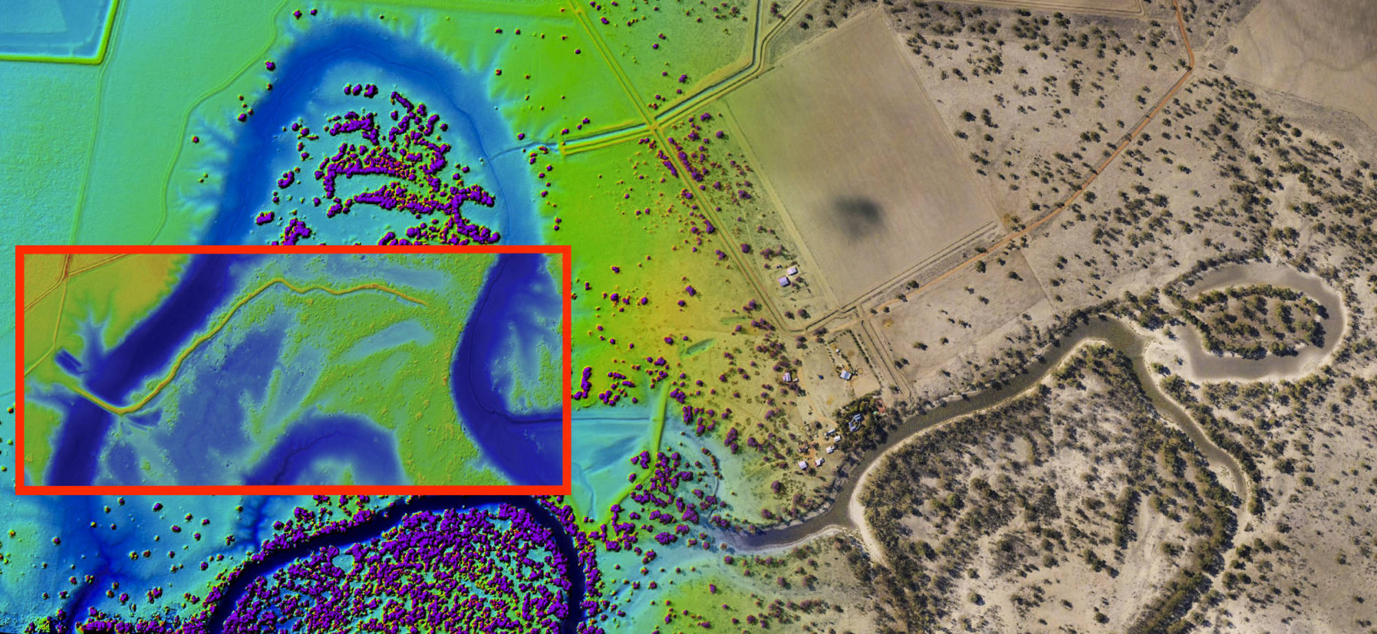


FOLLOW US!