ABOUT AEROGLOBE
Dedicated to environmental aerial science.
AeroGlobe is dedicated to the environment. Our aerial survey work now focuses on wildlife, marine science, coastal habitats and environmental change. We work with researchers, conservation organisations and government agencies to document the places and species they manage.
More than twenty years of aerial photogrammetry, camera-system development and field operations underpin that work. We capture detailed imagery, map terrain and vegetation, and connect wildlife observations to their locations. Our wider mapping capabilities also support disaster response, flood visualisation and recovery planning.
AVIATION AND FIELD OPERATIONS
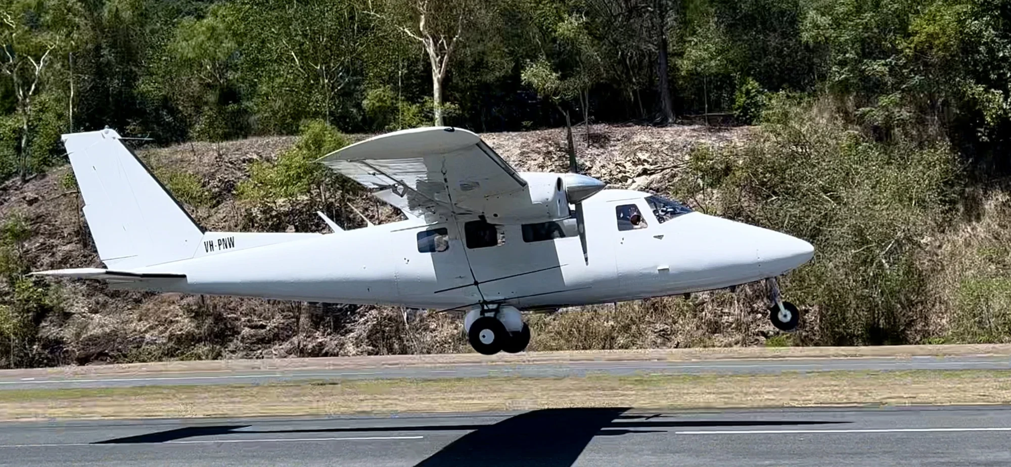
Liddle’s Air Service has provided aviation support for AeroGlobe’s marine survey work since 2022. Together, our survey experience spans marine megafauna, seabirds, turtle nesting beaches and remote coastal habitats.
Visit Liddle’s Air Service ↗OUR TEAM
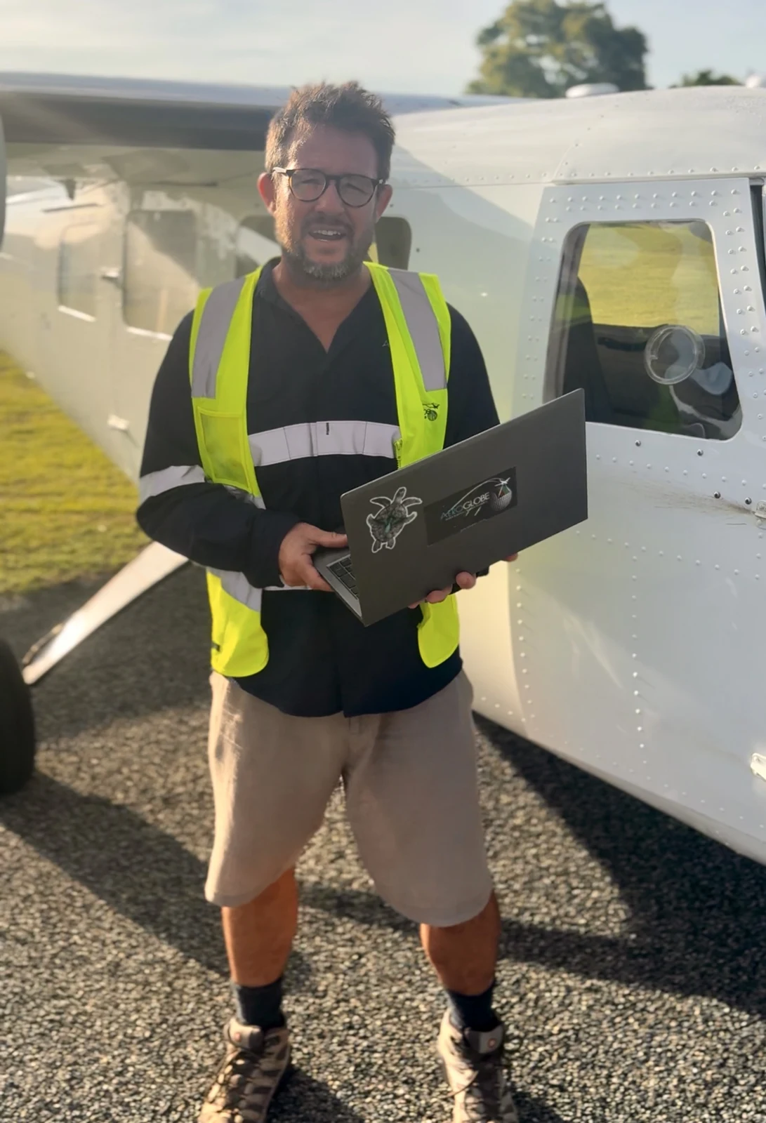
Managing Director and survey lead
Mike Swaine is the founder and Managing Director of Aeroglobe, as well as its lead photogrammetrist and camera-systems engineer. With more than 10,000 flight hours and 26 years in aerial survey, Mike has led marine, coastal, terrestrial infrastructure and disaster-response survey programs across Australia.
Mike’s project history ↗Toby Clewett
Geographic data scientist and analytics lead
Toby Clewett leads Aeroglobe’s geospatial analytics pipeline, combining spatial-data science, software engineering and photogrammetry in survey delivery. His background includes enterprise GIS, airport-expansion surveying and the processing systems used in Aeroglobe’s turtle, seabird and marine-megafauna programs.
Kym Reeve
Marine biologist and ecological image review
Kym Reeve is a marine scientist and aerial-survey specialist with nearly two decades of experience across turtle, dugong and marine-megafauna programs. Her work includes image review, turtle-track digitisation and ecological quality assurance, turning aerial imagery into biological observations that can be checked against the source photographs.
Benjamin Szabo-Virag
Chief software engineer and AI lead
Benjamin Szabo-Virag is Aeroglobe’s chief software engineer and AI lead. He develops the models, processing systems and review tools used to work with airborne wildlife imagery, from model training and deployment to production processing and quality assurance.