
NEW CALEDONIA DUGONG AND MARINE-TURTLE IMAGING
Aerial imaging and geospatial processing for a marine-megafauna research campaign.
- Client
- WWF France
- Location
- New Caledonia
- Period / status
- 2026 survey complete
Survey scope
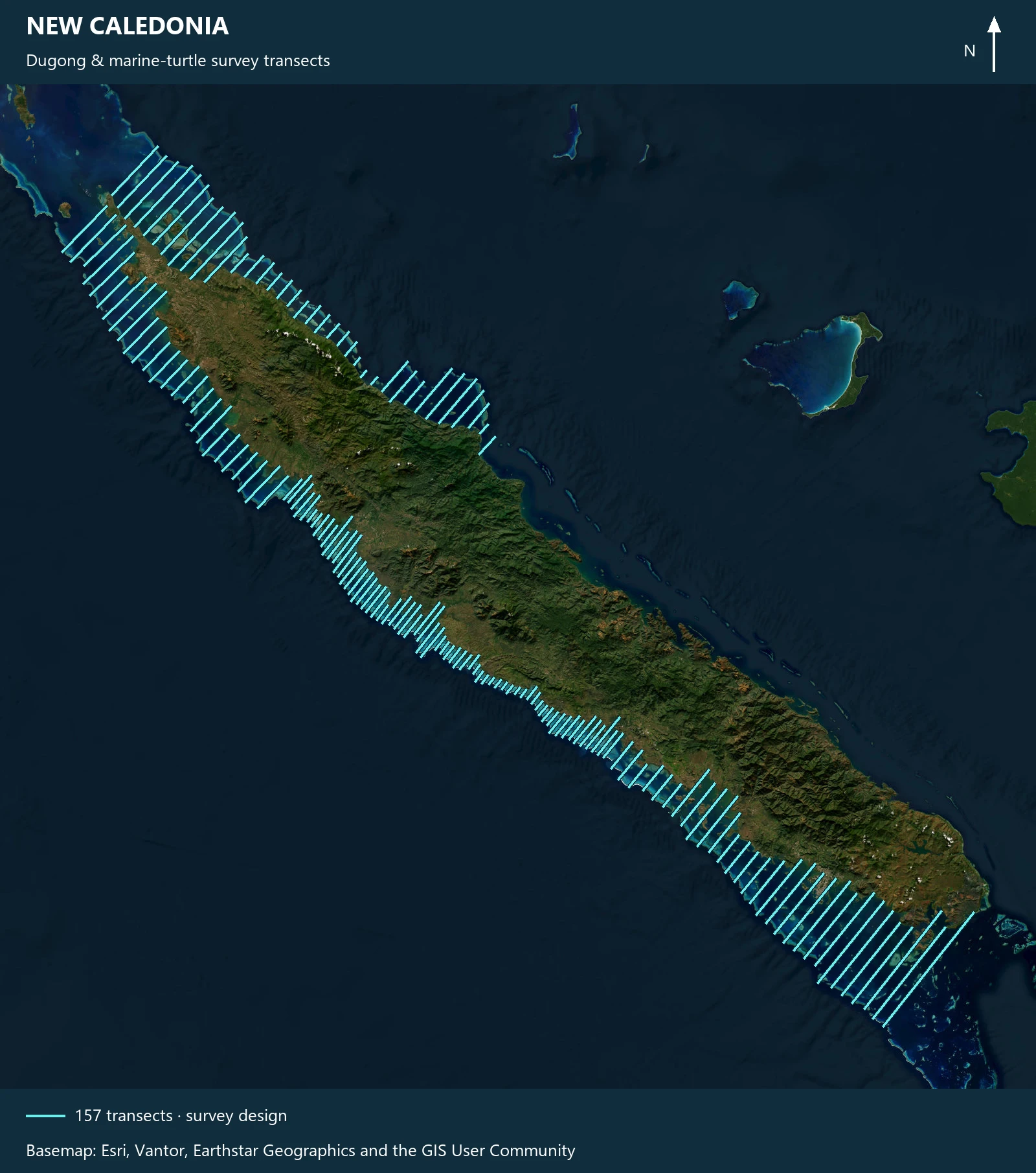
AeroGlobe provided the aerial imaging component of a campaign to update dugong abundance estimates and spatial distribution, with an additional marine-turtle analysis component.
The work included installation of the camera system, survey imaging, flight-data delivery and IMU digitisation and processing.
Data and deliverables
- Survey imagery and flight dataset
- Processed navigation data
- Geospatial products for research
 View image +
Contact AeroGlobe
Ask a question or request a quote for aerial survey, mapping or environmental analysis.